Bloomington’s Lower Cascades Road to reopen after pilot closure, but “not anytime soon”
Late Tuesday afternoon, a Bloomington city staff recommendation to permanently reopen the road through Lower Cascades Park was delivered to the four-member board of park commissioners.
That was followed by an update to the three-member board of public works from public works director Adam Wason, about the parks staff recommendation to re-open the road.
That meant board of public works members did not have to vote on the question of a road closure.
Still, Wason told them the road could not be opened “anytime soon.” For one thing, the road sustained substantial damage as a result of weekend’s heavy rains, which caused flooding in several places.
For another thing, it will take some time to design and construct the kind of traffic calming measures that are being recommended—to try to make the road safer for people bicycling and walking along the park road.
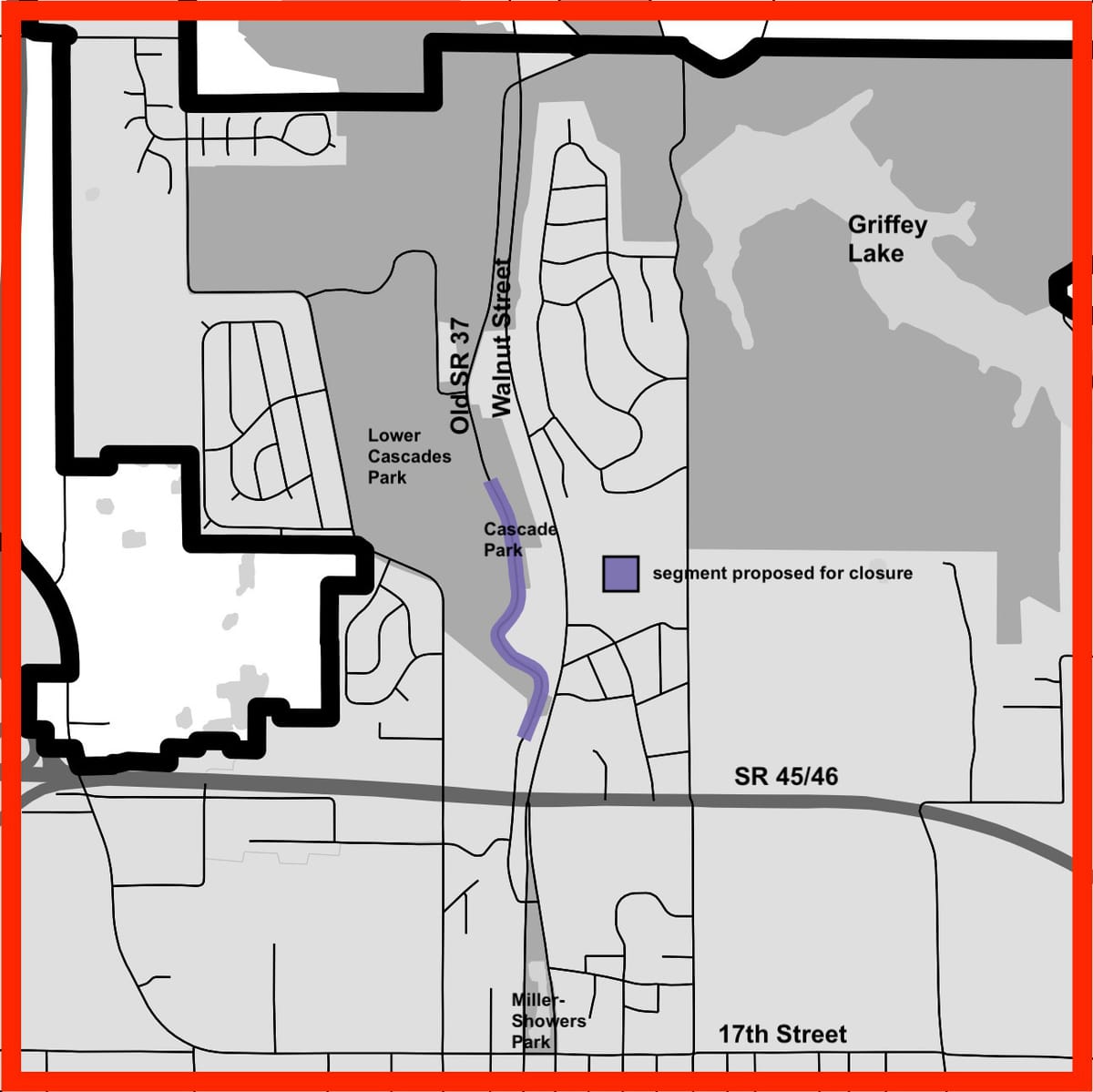
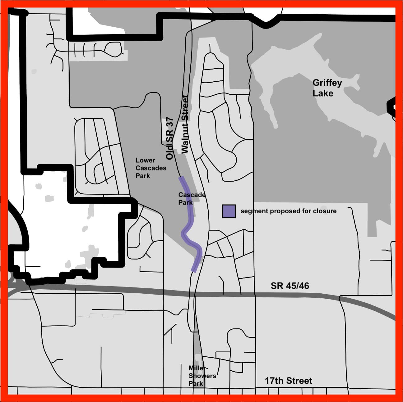
Those measures, which are billed as “creating a new experience for use of the road” include: re-paving and striping; installing traffic calming devices; installing 20-mph speed limit and “no trucks” signage; installing bollards to block vehicles from crossing the concrete creek spillway where children sometimes play; converting the gravel Waterfall Shelter gravel parking lot to greenspace; and converting the south playground parking lot to accessible spaces.
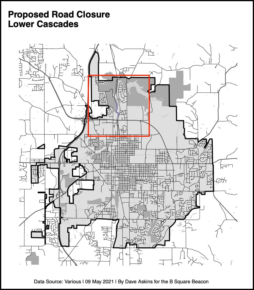
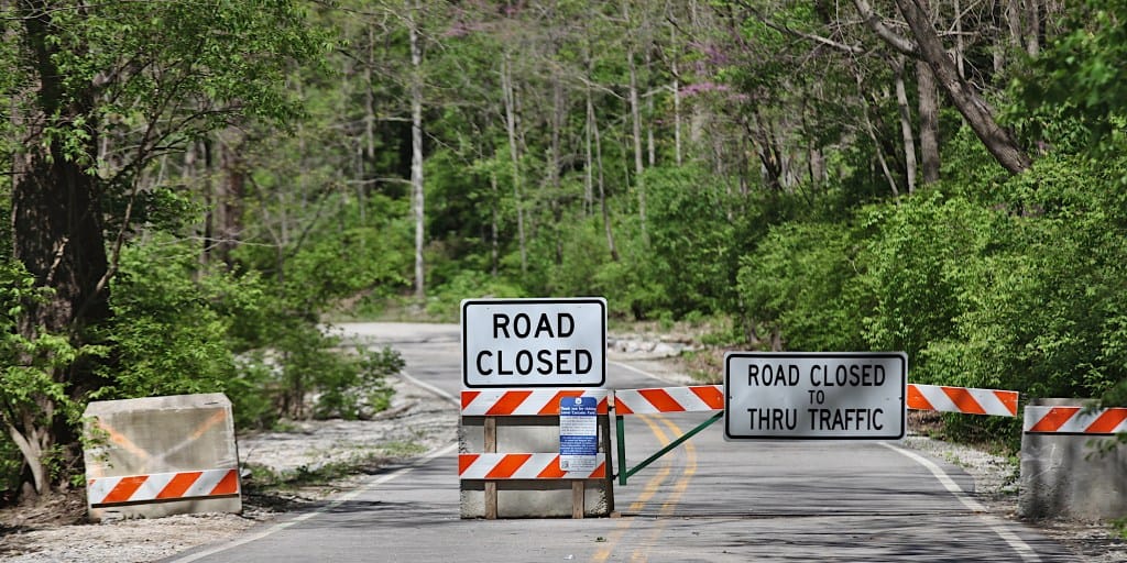
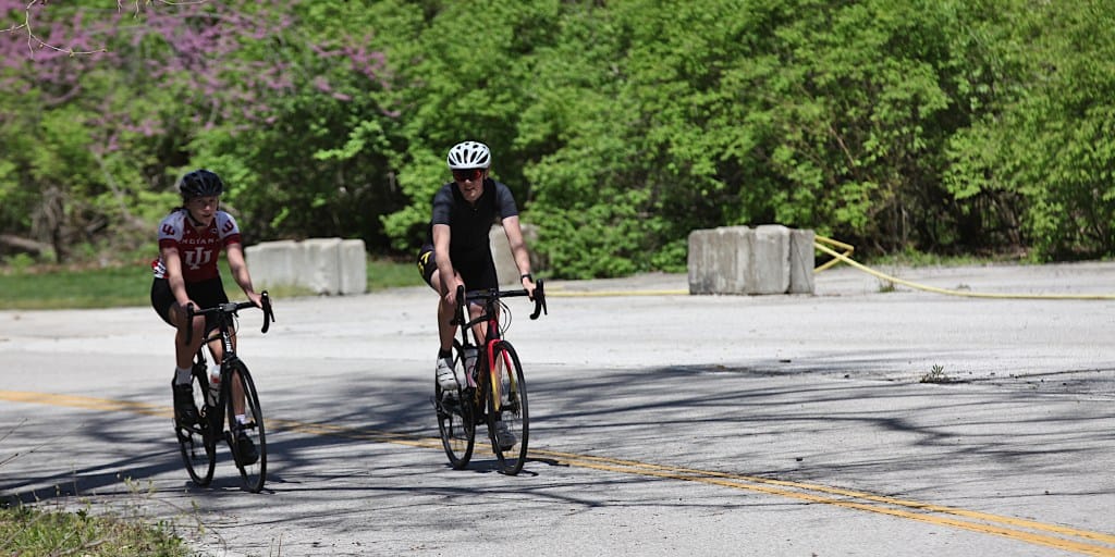
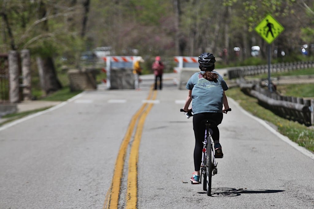
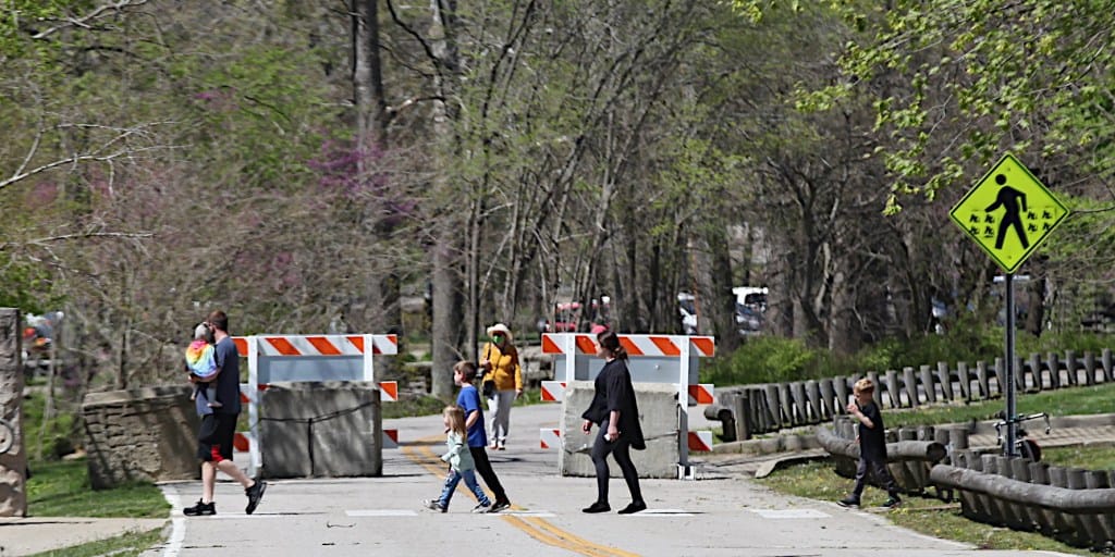
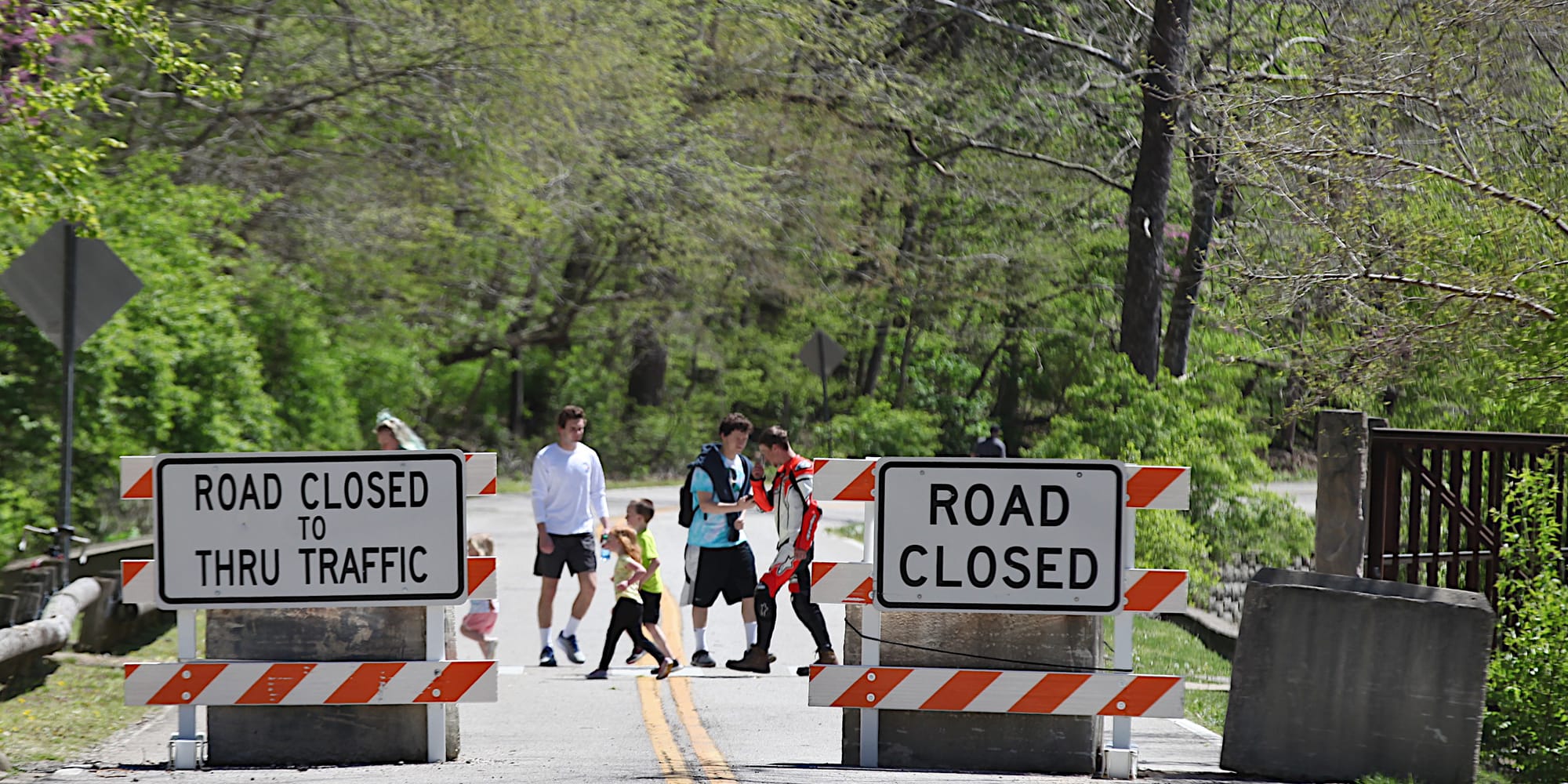
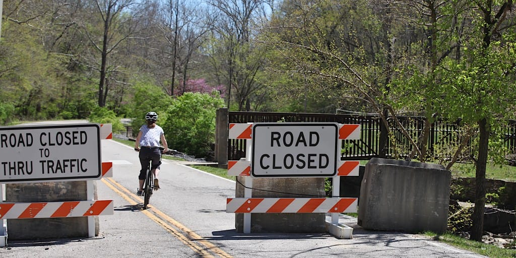
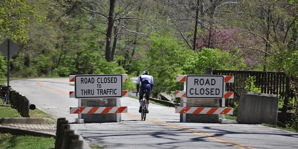
The roughly half-mile long segment of north-south road, which is north of the SR 45/46 bypass, had been closed for more than a year, as a pilot to help judge the viability of using the whole road as a trail for bicyclists and pedestrians.
Parks staff collected survey data during the closure on the impact of the road closure and on the experience of park users during the closure.
Wason said staff would give some updates on timelines and costs for the traffic calming measures and the storm damage repair, at the board’s first meeting in July.

“The road closure is going to need to continue, no matter what, for some period of time,” Wason said.
Wason showed the board a slide of a spot where the stream running along the west side of the road had washed away the bank, causing a chunk of roadway to collapse.
In comments later in the meeting, Wason put the weekend storm in the context of climate change.
“Weather events like we had this weekend seem to be occurring more and more often,” Wason said. He added, “For me as public works director, and for me, as just a regular citizen, the realness of climate change happens in, I think, some of these severe weather events.”
The stage had been set for a Tuesday recommendation to the parks board for keeping the road closed. That was to have been followed with a vote by the board of public works on the closure.
Until the parks staff announced late last week that its recommendation would be for re-opening the road, residents who opposed the closure had not expected to see the road reopened.
Carole Canfield opposed the road closure, based in part on the lack of access it would mean for those who depend on cars to get around. She told the parks board during public commentary: “I honestly didn’t think it was going to happen.”
Canfield continued, “I want to thank you for all the attention that you’ve given our comments.” Canfield wrapped up saying, “I’m actually just kind of speechless.”
Offering a different perspective in his public commentary, delivered to the board of public works, was Greg Alexander.
Alexander framed the question partly in terms of the city administration’s request of the city council, to support a trail project along the road.
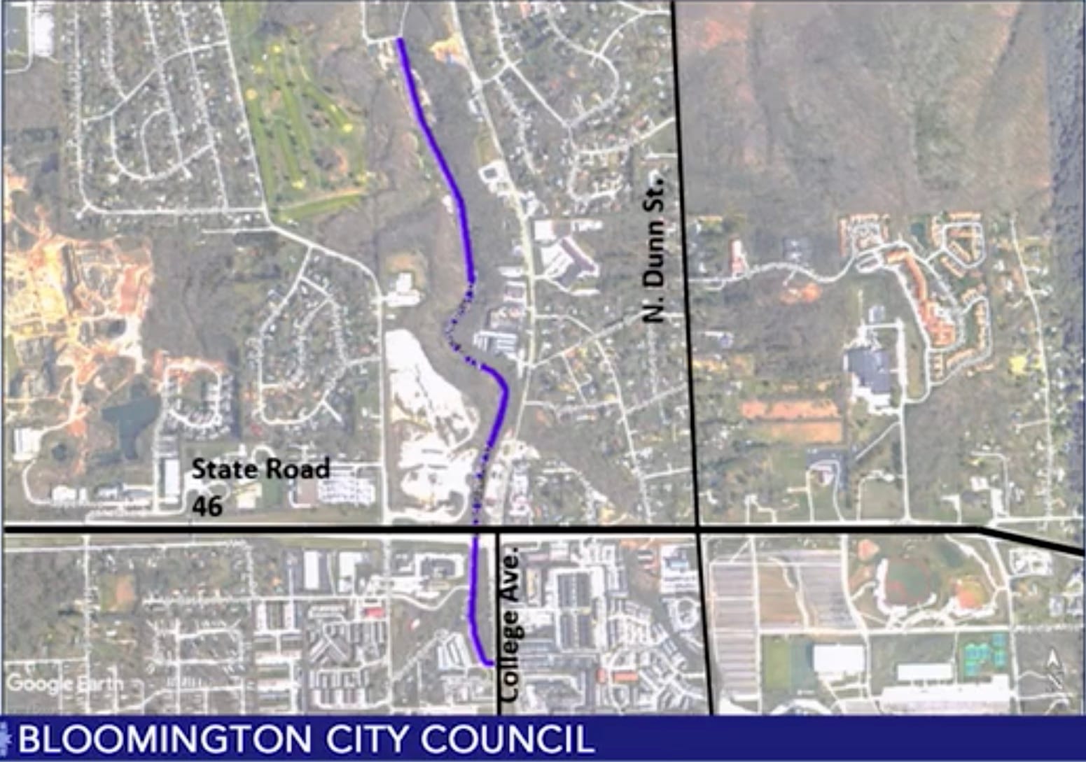
That request came in 2018, when the administration asked the city council to approve a total of $10 million worth of bonds to support several projects, including what the council’s resolution on the bond approval describes as “a trail from Clubhouse Drive to College Avenue at Cascades Park.”
In his remarks to the city council on Oct. 31, 2018, Bloomington’s mayor John Hamilton described the Lower Cascades trail project as “converting one lane of the roadway to a bike-ped trail connecting Clubhouse Drive south to College Avenue and Miller Showers [Park].”
Dave Williams, who was at the time the operations director for the Bloomington parks department, told the council at the Oct. 31, 2018 meeting that the Lower Cascades Trail project “would connect the park…to Miller Showers Park.” Williams added, “This would be an on-road one-way option, routes and directions to be determined, from Clubhouse Drive south to the main park property, aligning and connecting with Miller Showers Park.”
At the time, the Lower Cascades trail project had an estimated cost of $2.1 million.
Alexander said, “Parks has already spent almost half of that bond money—without providing the connection.” He continued, “It’s ludicrous that parks is in charge of so many transportation resources! But when they solicit money from city council to provide safe bike-and-ped transportation from one park to another park, they should actually follow through on that promise.”
Also addressing the board of public works along the same lines as Alexander was city councilmember Matt Flaherty, who was not serving on the city council in 2018—his service began in 2020.
Flaherty said, “The feasibility of putting a high-comfort…multiuse path through Cascades Park, in addition to the existing two-way roadway is basically nonexistent,” Flaherty said. He noted the steep slopes on the east and the eroding stream banks on the west. “If we are trying to over-build that space with multi-use paths and streets, I think we are setting ourselves up for a lot of financial liability,” Flaherty said.
During public commentary to the board of parks commissioners, Ian Yarborough said the traffic calming measures would be a step in the right direction to help keep traffic down to a reasonable speed through the park. But he called the construction of traffic calming devices for such a long stretch of road a “misuse of funds.”
Also delivering remarks to the board of park commissioners on Tuesday was councilmember Sue Sgambelluri, who represents District 2, where the proposed road closure is located. Sgambelluri echoed some of Yarborough’s sentiments during public commentary. Yarborough said, “It’s an impossible task to please everyone.”
Sgambelluri called the recommendation balanced. She said, “I think it attends to the needs of those who have different abilities than we do, and who rely on cars to access the city’s most naturalized park.”
Sgambelluri added, “I think it also attends to the need to slow traffic down and to be sensitive to how car traffic does behave.”
Photos of Lower Cascades Road closure (April 25, 2021)

Comments ()