Redistricting notebook: How do current Bloomington city council districts split up neighborhoods?
A second meeting of Bloomington’s redistricting commission was held last Monday (July 25).

The meeting included a look at some maps drawn by the public and one map created by a commissioner.
Deliberations were light on substantive issues, and did not offer much insight into the factors that commissioners will see as most significant, when they recommend a new district map to the city council.
The main takeaway from the July 25 meeting was the scheduling of an additional meeting, for Aug. 22 at 7:30 p.m. The next meeting had already been scheduled—for Aug. 9 at 9:30 a.m.
Under the new city ordinance, the commission has until Sept. 7 to make its recommendation for six population-balanced city council districts. Redistricting work for the city council has to be done every 10 years, in the second year following the decennial census.
It’s the city council that will make the final decision on the new districts, and the decision has to be made before the end of the year. The timeframe for the work of the redistricting commissioners has been compressed, because they were not seated by the city council until mid-June, almost 18 months after they were supposed to be appointed.
Several substantive issues have received a passing mention by commissioners during meetings, or during public comment time. Among them: Should the new districts resemble old districts as much as possible? Should the new districts try to avoid splitting up the geographic area of neighborhood associations? Should the new districts try to avoid splitting up elementary school (or middle school and high school) districts? Should a potential district’s number of active voters—not just population—be a factor that is considered?
The ordinance establishing the redistricting advisory commission—which was enacted by the city council in late 2020—says that: “Whenever possible, the commission should avoid recommending districts that split communities of interest into multiple districts.”
What is a “community of interest”? The ordinance defines them like this: “These communities include, but are not limited to, political subdivisions, neighborhoods, school districts, historic districts and other areas where residents share common traits and concerns.”
During public commentary, which came at the end of the July 25 meeting, Bloomington resident Chuck Livingston told commissioners that he would like to know if there are other communities of interest they were looking to consider, besides those that are listed out in the ordinance.
Livingston had already drawn four different maps, using the publicly available Distictr tool. But he wrote in a letter to the commission that those maps just served to illustrate that it is pretty straightforward to draw maps that satisfy the basic criteria of contiguity, population balance, and compactness. He wrote that he’s not proposing any of those four as the new council district map.
Livingston told commissioners that as he hears more about their priorities, he would work on drawing more maps.
In his letter, one of the issues Livingston identified with the current council districts is the way they split up the Elm Heights neighborhood association, where he lives.
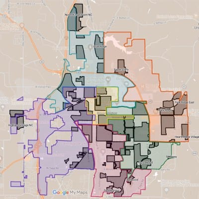
The B Square checked the current council district map for splits of neighborhood associations throughout the city.
Many of the city’s neighborhood associations are wholly contained in a precinct. And precincts are the basic building blocks for districts. So the integrity of many neighborhood associations will be preserved in any map, just because they fit inside a precinct.
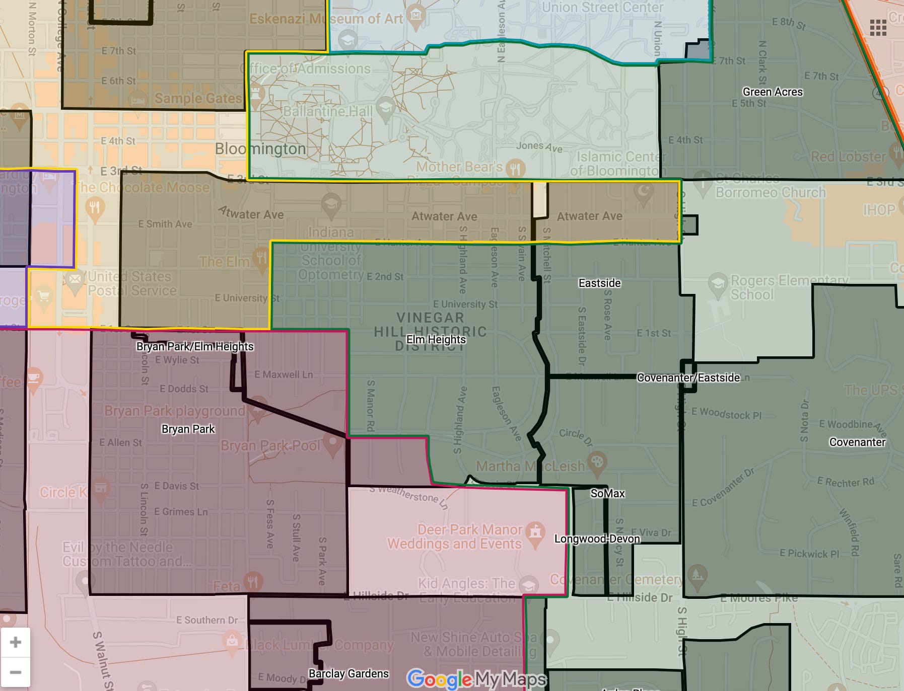
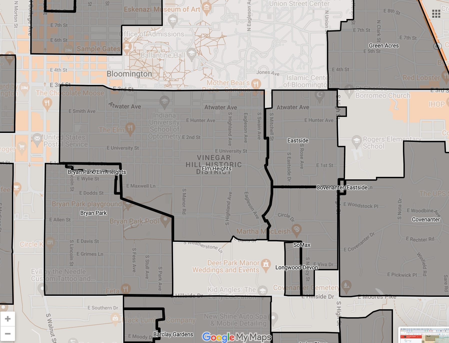
But Elm Heights is split across six precincts, and that translates into a split across three city council districts: District 6, District 5, and District 4.
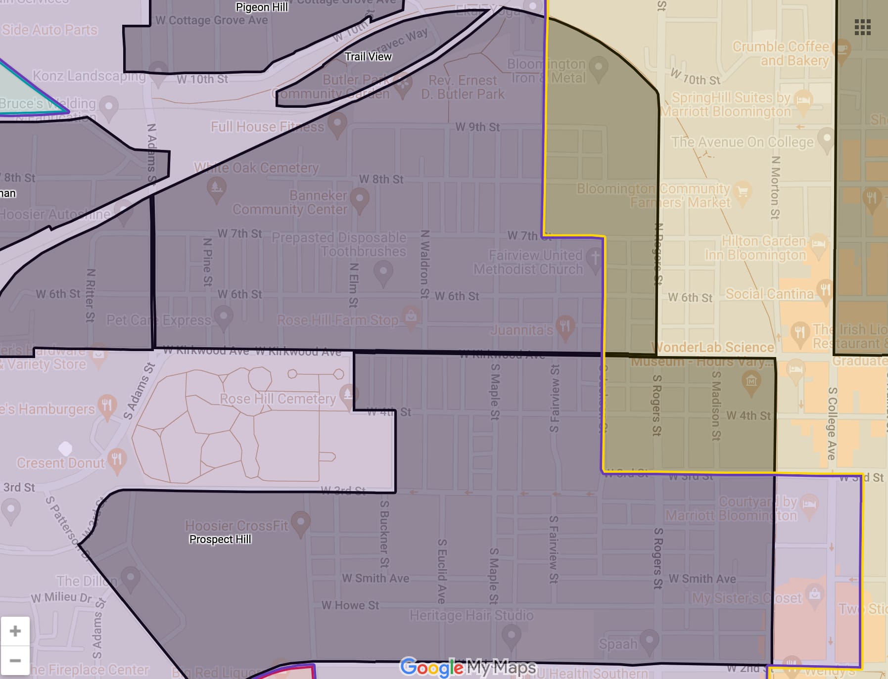
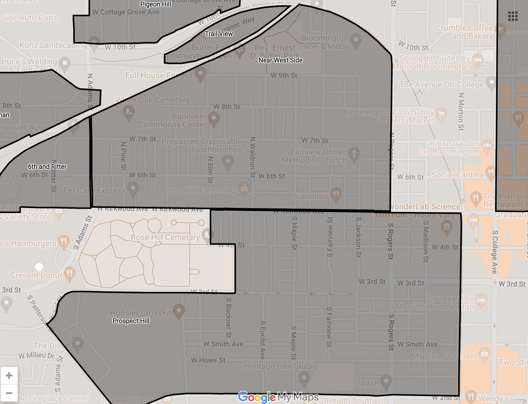
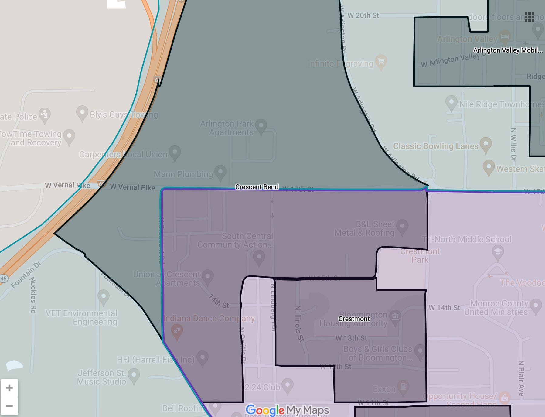
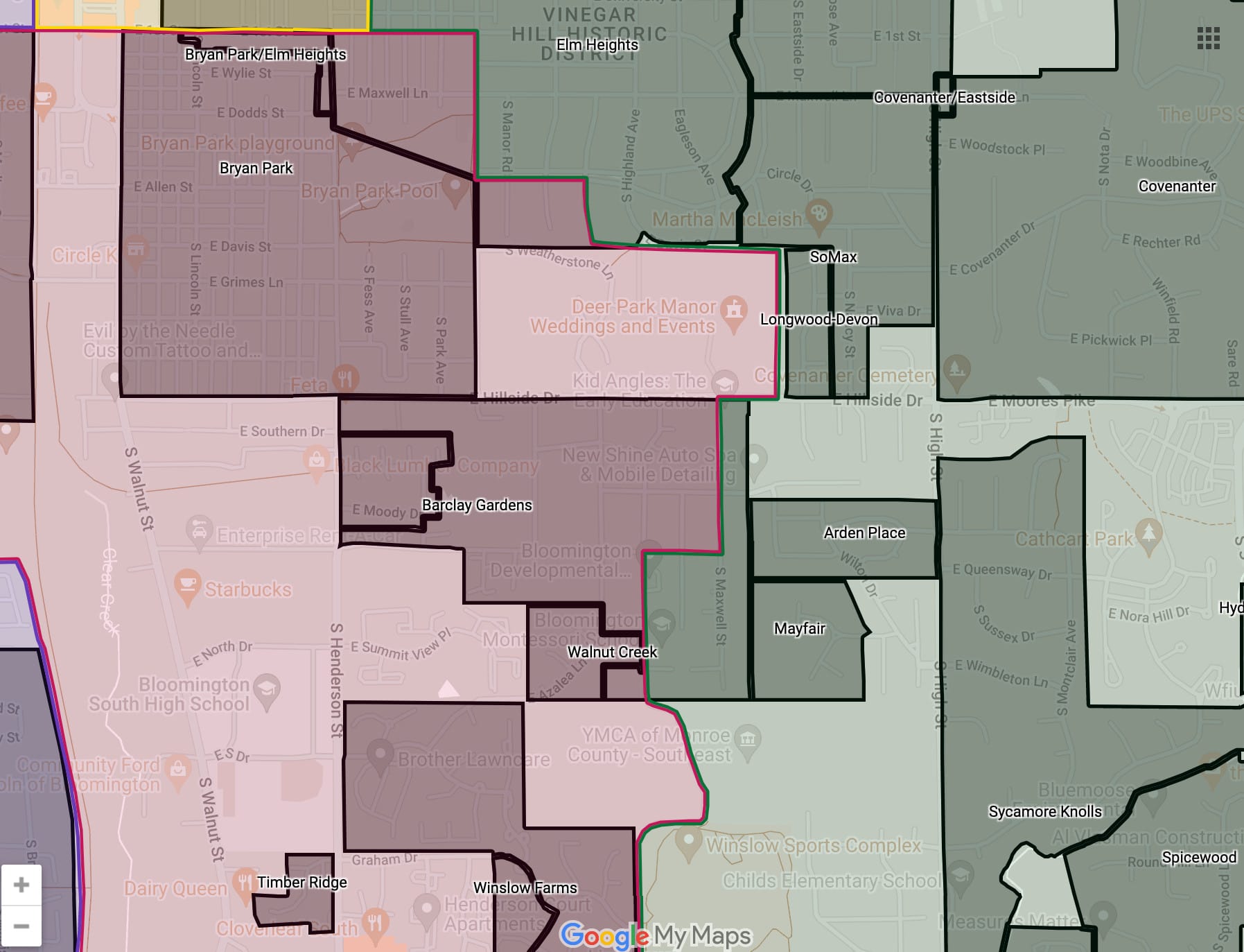
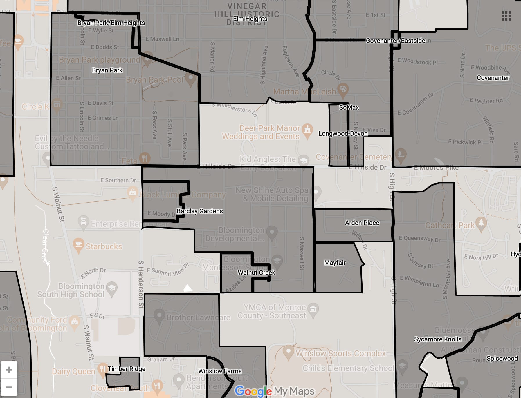
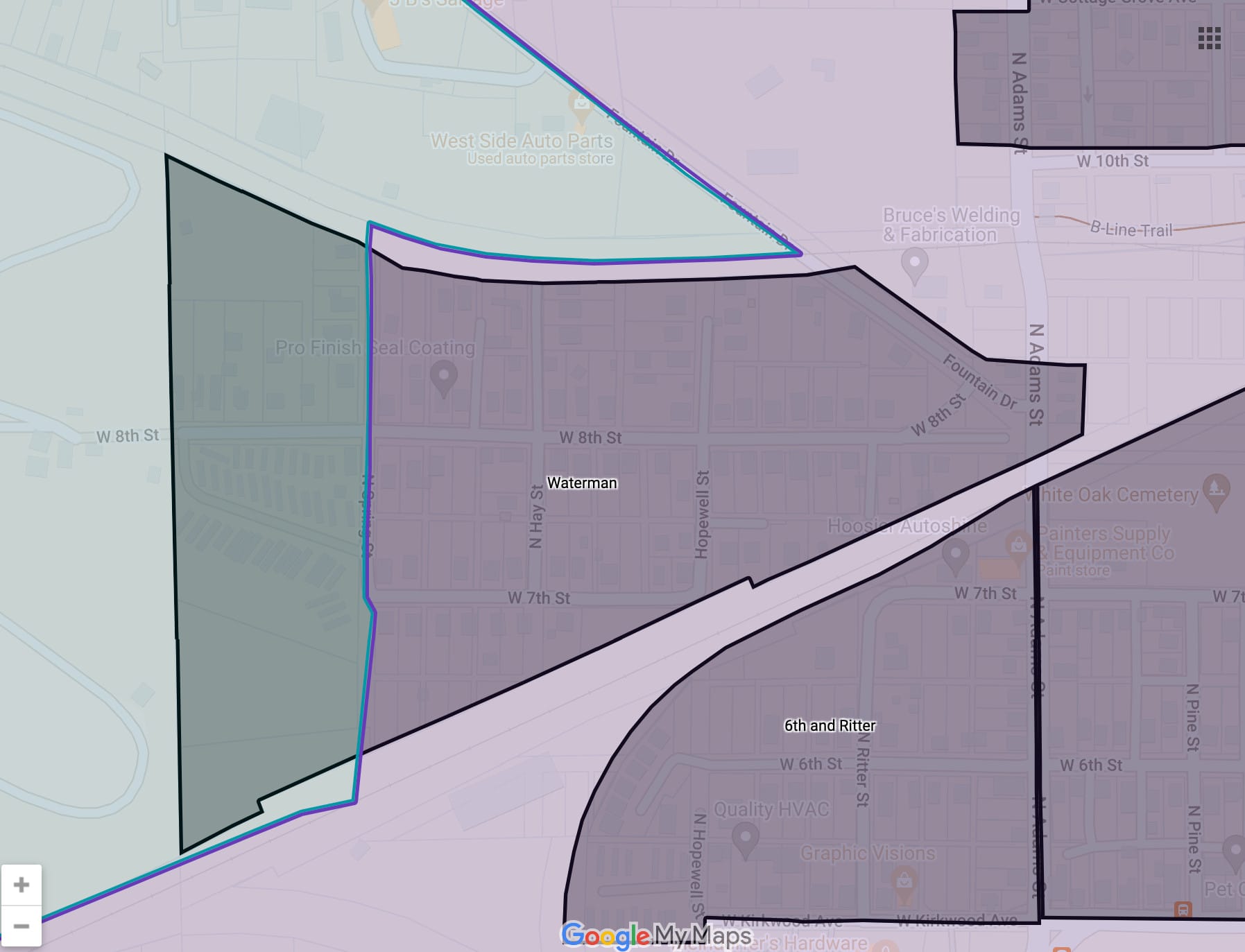
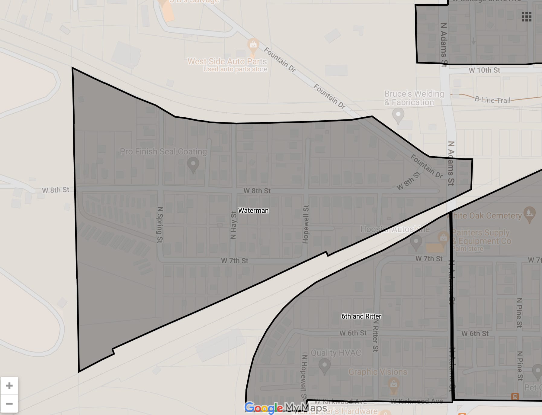
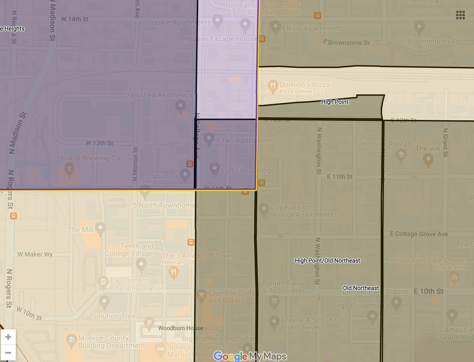
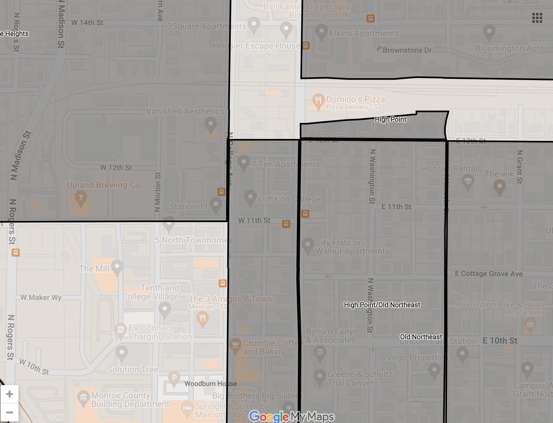
Other neighborhood association splits identified by The B Square—some more substantial than others—include: Eastside (District 6 and District 4); Near West Side (District 1 and District 6); Prospect Hill (District 1 and District 6); Crescent Bend (District 1 and District 2); Barclay Gardens (District 5 District 4); Waterman (District 2 and District 1); and Old Northeast (District 1 and District 6).
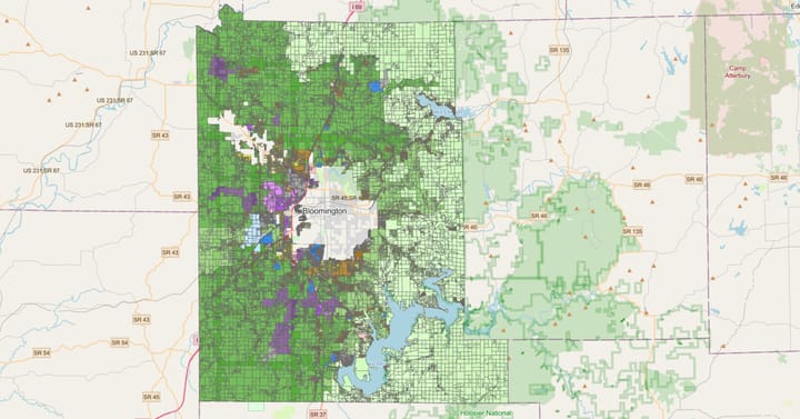
Below are some map excerpts that highlight those current neighborhood association splits. Included is a link to a dynamic version of the map, for readers who want to pan around and try to find additional neighborhood association splits. In the left sidebar of the dynamic map, it should be possible to toggle the layer with current council districts.
KML files used for the dynamic map:
Elm Heights: District 6 (yellow), District 5 (red), and District 4 (green)
Eastside: District 6 (yellow) and District 4 (green)
Near West Side: District 1 (purple) and District 6 (yellow)
Prospect Hill: District 1 (purple) and District 6 (yellow)
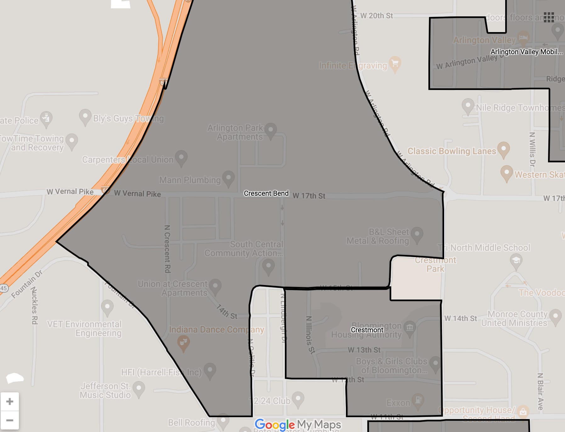
Crescent Bend: District 1 (purple) and District 2 (light blue)
Barclay Gardens: District 5 (red) and District 4 (green)
Waterman: District 2 (light blue) and District 1 (purple)
Old Northeast: District 1 (purple) and District 6 (yellow)
Six Highlights of current (2012) Neighborhood Association Splits


Dynamic Map of 2012 Districts Overlaid with Neighborhood Associations


Comments ()