Aug. 20–25: Heat advisory for Monroe County prompts activation of area cooling stations
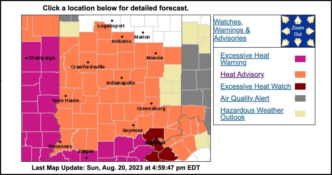

A heat advisory has been issued by the National Weather Service for a big area of the Midwest that includes central and southern Indiana.
As of Sunday afternoon, the NWS heat advisory goes through midnight Thursday (Aug. 24).
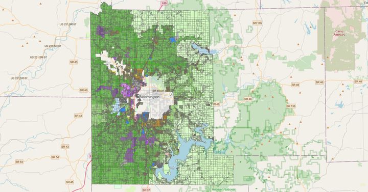
Monroe County’s emergency management department has responded to the heat advisory by activating seven area cooling stations. They will be open Aug. 20-25 from 10 a.m to 6 p.m.
The cooling stations are located in area fire stations.
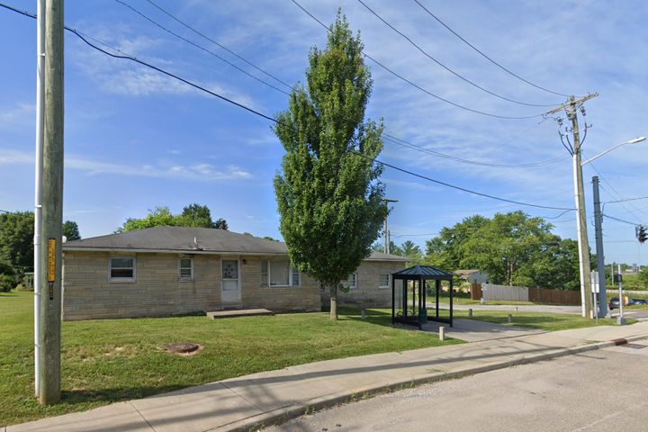
Not included among the cooling stations this time around is Monroe Fire Protection District Station 22 at 3953 S. Kennedy Drive, according to deputy emergency management director Justin Baker. That’s due to construction, according to Baker.
The temperatures forecasted by the National Weather Service for the Bloomington area in the coming week range from 93 to 98 F degrees.
Those raw temperatures aren’t high enough to meet the NWS definition for a heat advisory. But the heat index of 106 F degrees forecasted for Monday in the Bloomington area does exceed the 105-degree heat index threshold that triggers a heat advisory.
The heat index is calculated as a function of temperature plus humidity, and tries to approximate the “apparent temperature” as perceived by a person. .
When the NWS issues a heat advisory, the NWS advises that people drink plenty of fluids, stay in an air-conditioned room, stay out of the sun, and check up on relatives and neighbors.
The NWS reminds people that young children and pets should never be left unattended in vehicles under any circumstances.
When it issues a heat advisory, the NWS says people should consider postponing or rescheduling any strenuous outdoor activities. The NWS advises that if people have to be outside, that they make sure to drink plenty of water and take frequent breaks in the shade.
The NWS advises that the young and elderly and those with medical conditions should use extra caution outdoors.
Over the next five days, the temperatures forecasted by the National Weather Service for the Bloomington area range from 93 to 98 F degrees.
Those forecasted high local temperatures are a lot hotter than normal for this time of year. Based on data from the NOAA regional climate centers, the average high daily temperature for the third week of August is around 85 F degrees.
The forecasted highs are still lower than the record highs for the dates in question. Those record highs are: 103 (Aug. 20); 100 (Aug. 21); 103 (Aug. 22); 102 (Aug. 23); 99 (Aug. 24); and 102 (Aug. 25).

Comments ()