Collaboration across Monroe County government a recipe for cooking up better food safety reporting

In January 2023, when a Monroe County resident asked for food service inspection reports, the best response that county government could muster came from Mike Kuzemka, who works in the health department as the environmental health services manager.
Kuzemka asked the resident to fill out a records request form.
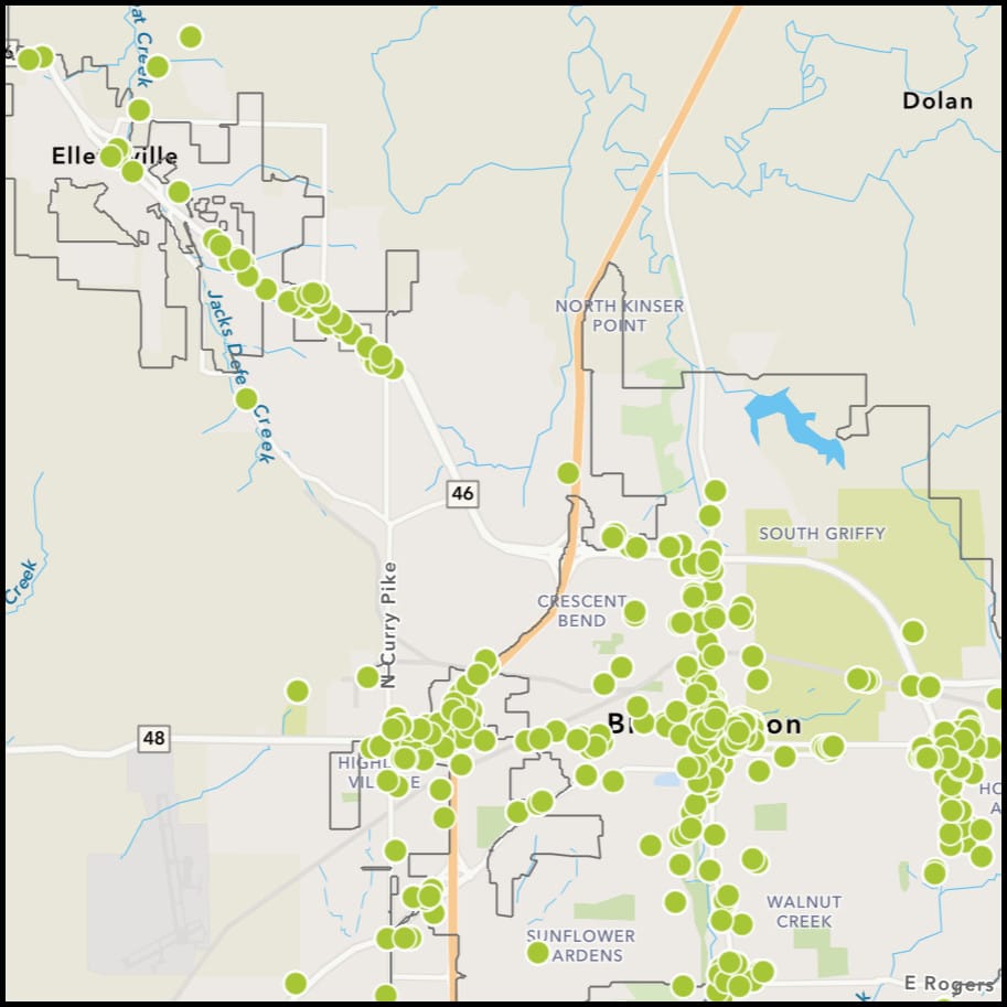
Now, Kuzemka can point to a dynamic map, which plots out food establishments, with their history of inspection results.
The roughly 7,800 inspection results go back to 2011, and include pre-operational inspections as well as inspections conducted because of a complaint. Also included are the results of follow-up inspections for places that had so many critical violations during a routine visit that they amount to a public health hazard.
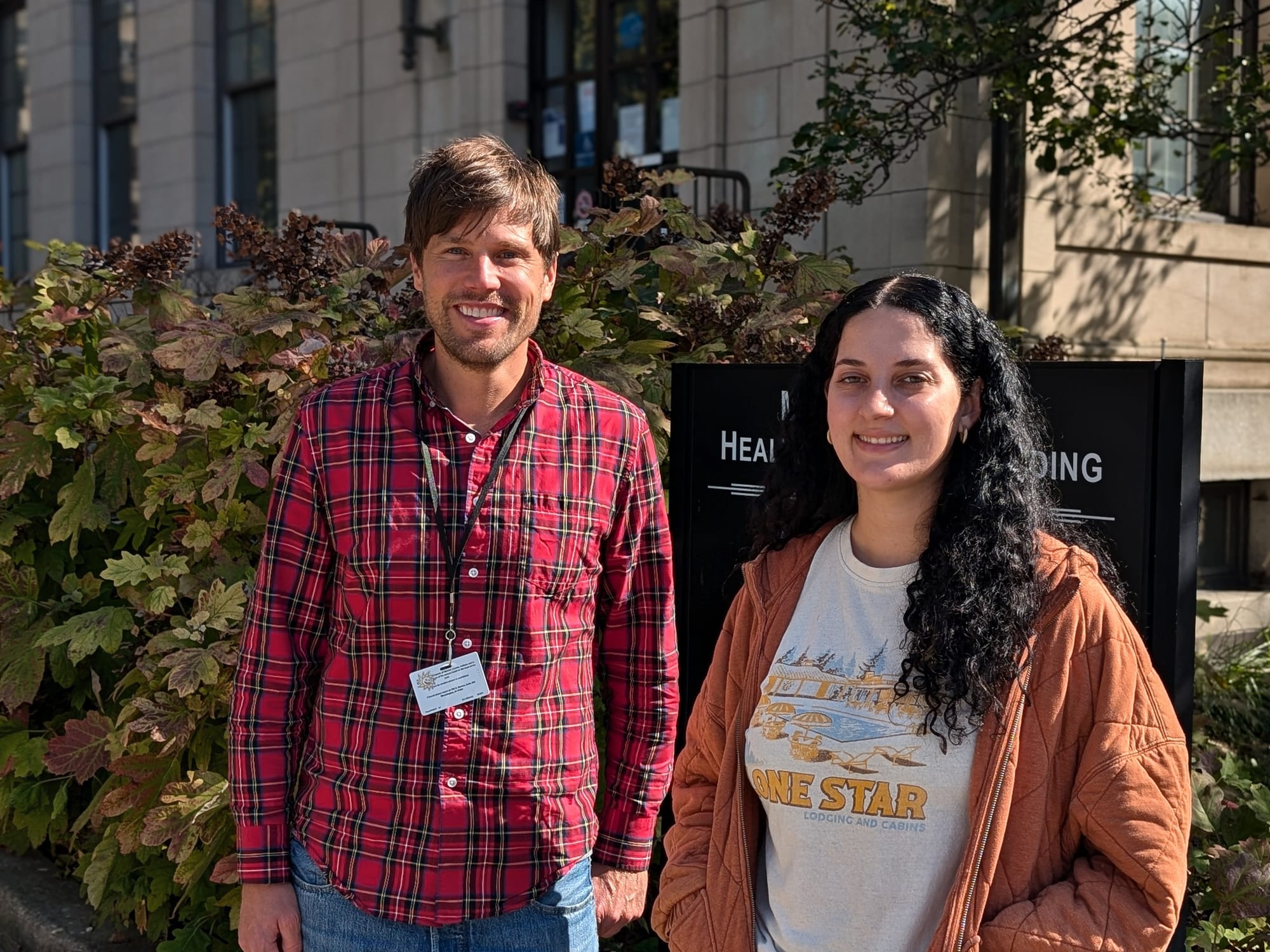
Last week, The B Square sat down with Kuzemka and Alyssa Delgado, who is one of three food safety inspectors in the health department, to learn more about how they worked with the county’s GIS division to bring the map online. The B Square spoke with the GIS team a couple of weeks earlier.
Of the three food safety inspector positions, one is currently vacant. It’s posted on the county website as an environmental health specialist. That means Kuzemka is for now filling in for the vacant inspection territory, which is the eastern side of Monroe County.
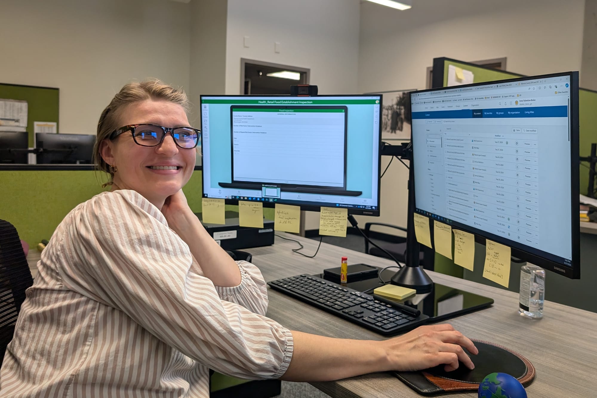
Kuzemka described how in late 2023 there was an interest expressed from the GIS (geographic information system) team, which works out of the surveyor’s office, to develop food safety inspection maps. The people on that team are GIS technician Irena Valentine-Bolen, and GIS Coordinator John Baeten.
Kuzemka said that when the mapping project was proposed to the health department, their priority at the time was developing a multi-market license system for farmers markets. Now, a farmer can choose a license that allows them to operate at 1–3 different markets or at 3–6 markets, instead of requiring a separate license for each market.
But with that multi-market project wrapped up, earlier in 2024 there was time to look at mapping out the food safety inspections. Kuzemka said, “Delgado really took the reins, and then pretty worked with GIS to get what you have right now.”
On the GIS side it was Valentine-Bolen who did the heavy lifting on the food safety mapping project. Baeten put it like this: “Irena basically championed this entire project with the health department.”
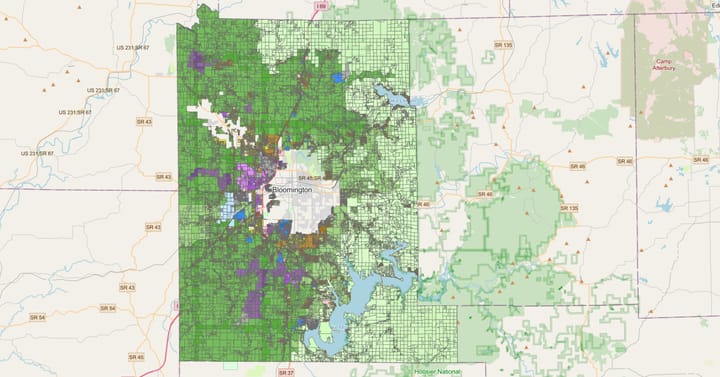
Baeten said the county health department had not previously been working in any kind of GIS environment— even though there’s a lot of data that is housed in the health department that lends itself to visualization with maps. As an example of that, Baeten gave the results from the free radon test kits that are available through the health department. Those radon test results are now plotted out on a map.
As a future possibility for mapping health department data, Kuzemka gave the counts from tick drags, which involve pulling a piece of fabric across vegetation to collect ticks for population counts.
But there’s still more work to do on the food safety mapping project.
Currently, the information from the paper forms filled out by food safety inspectors is first keyed into the health department’s Microsoft Access database. From there, it is exported to Excel. Then the Excel sheet is shipped over to Valentine-Bolen who uploads the data to the map.
That’s already a dramatic improvement over the way that the health department started disseminating summaries of food safety inspection reports in February 2023, after getting records requests for them a month earlier. Delgado and the other inspectors would take turns typing up monthly reports, which were then posted on the health department’s website as .pdf files.
Compared to typing up reports, it’s way easier to export the data from Access to Excel and then upload it to the map. But Delgado and Valentine-Bolen are looking to make that process even smoother.
Valentine-Bolen is working to develop an app that will run off a smartphone or a tablet, which will allow inspectors in the field to log the data directly into the app as they’re doing the inspections, by picking the violation codes off drop-down menus. That will be handy, when the transition is made sometime in the coming months, to a new set of violation codes that the state is adopting.
From the app, the data will be uploaded directly to the software that Valentine-Bolen used to build the map—which is Esri’s enterprise level ArcGIS.
The collaboration and cooperation between the GIS team and the food safety inspectors on the mapping and inspection app project is not something that can be mandated under the structure of county government in Indiana. It’s something that requires initiative by people that cuts across the organization.
The “Guide to Indiana County Government,” which is published by the Association of Indiana Counties, puts it like this: “The structure of county government in Indiana allows for a dispersion of executive and administrative power, each with statutorily vested powers and duties. There is the need for developing cooperative attitudes and a spirit of genuine teamwork among all elected officials.”
The guide gives this advice to elected and appointed officials in county government: “You must establish an atmosphere of mutual cooperation. The shortest road to failure, both in county government and in the political arena, is to assume that your office is the most important one within the county and that other offices are expendable.”
Even the acquisition of the enterprise level ArcGIS software used to build the food safety inspection map, among several other projects, required teamwork. It was made possible with a 3-year contract approval from the three-member board of county commissioners in July 2023. The total of that 3-year contract is $263,300.
The hands-on work by Delgado, Kuzemka, Valentine-Bolen and Baeten has been made possible with support from the heads of their respective departments—Lori Kelley, who is the county’s health administrator, and Trohn Enright-Randolph, who is the elected county surveyor.


Comments ()