
Bloomington plan commission OKs 11-lot North Dunn subdivision
Bloomington’s plan commission approved an 11-lot North Dunn Street subdivision and three waivers, including one to allow a cul-de-sac. The 7–2 vote came after deliberations about wetlands and future transportation connections.
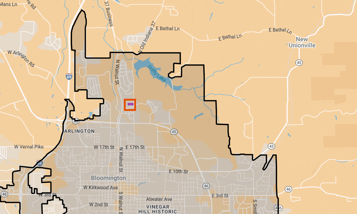
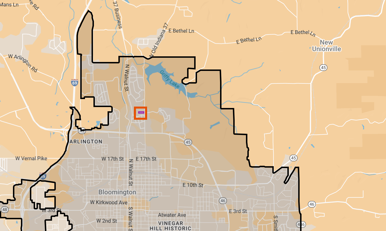
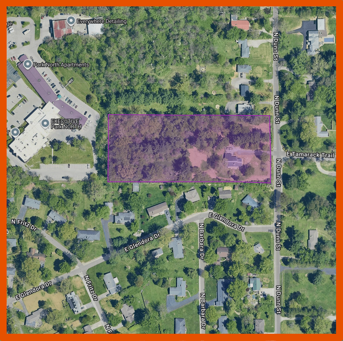
Maps by The B Square with information from the city of Bloomington. [link to dynamic map]
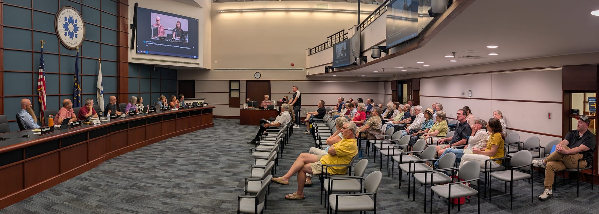
An 11-lot subdivision on North Dunn Street got a sign-off from Bloomington’s plan commission at its Monday (July 13) meeting after a long and tangled discussion about wetlands, future street connections, and how much control the city should claim over the land.
On a some split votes, the commission approved a primary plat for the 4‑acre subdivision at 2511 N. Dunn St., along with three subdivision waivers. The project, proposed by owners Paul Pruitt and Keith Klein, replaces a single house with 11 detached single-family lots and three common-area tracts in an R2 zoning district.
Staff had recommended two waivers and but denial of a third: a waiver to allow a cul-de-sac instead of extending Tamarack Trail to the west property line. Commissioners ultimately flipped that recommendation, approving all three waivers, including the cul‑de‑sac, against the staff’s recommendation.
Dissenting on the 7–2 final vote to approve the subdivision were Patrick Holmes and Ellen Rodkey.
Besides the cul‑de‑sac waiver, the plan commission also approved waivers of the requirement that 67% of the lots be served by alleys, and of the standard riparian buffer easement language so City of Bloomington Utilities (CBU) can get into the protected area for drainage maintenance.
Neighbors from Matlock Heights and the immediate area again turned out in force to argue the project will worsen flooding, damage the area they call “Sinclair Woods,” and foreclose better long‑term options for handling stormwater and wildlife habitat. It was the third time the question had been in front of the plan commission, most recently at the commission’s June meeting, but also six months ago at its January meeting.
Two technical issues dominated the deliberations: Should the city require more investigation about the status of one area potentially as a wetland; and should the city accept a strip of right‑of‑way at the west edge of the property to preserve a possible future street or trail connection toward Walnut Street?
Wetland question: Intermittent stream or wetland?
Several neighbors pressed the commission at least to make it a condition of approval that the one area on the property be evaluated by an outside professional, to determine if it is a wetland.
Attorney Jason McCauley, speaking for a group called Concerned Northside Neighbors said the record does not contain “competent, material and substantial evidence” supporting the planning staff’s conclusion that no wetland exists on the site. He said that several people, including the city’s own utilities engineer and the developer’s engineer, had casually referred to the ponded area in the northwest corner as a “wetland.”
McCauley told commissioners the neighbors had offered to hire, at their own expense, a certified wetland professional to conduct a delineation, but had been denied access to the property by the petitioners. He asked the commission to either postpone the case or add a condition requiring the delineation before the project could move forward.
Assistant planning and transportation director Jackie Scanlan told the commission that senior environmental planner Rachel Johnson had visited the site twice, including once in October 2025, specifically to evaluate the area in question. Johnson concluded it meets the city’s definition of an intermittent stream, not a wetland, Scanlan said.
Scanlan read aloud the Unified Development Ordinance (UDO) definition of “wetland,” which requires that the area periodically support hydrophytic vegetation, have undrained hydric soils or have a non‑soil substrate that is saturated for part of the year.
Scanlan said Johnson had “used her professional experience to make the determination that none of these three things are happening here,” and therefore did not require a delineation. Attending Monday’s meeting was planner Jamie Kreindler, who accompanied Johnson on the site visit along with the engineer for the petitioner, and confirmed for the commission they walked the back of the lot while Johnson photographed and evaluated the area.
Development services manager Eric Greulich stressed that, no matter what label is used, the feature in question is already being regulated as an intermittent stream with a required 75‑foot riparian buffer split into three 25‑foot tiers. The innermost 25 feet is entirely off‑limits to disturbance, and only portions of the outer tiers are touched by grading for a detention basin.
“Whether wetland or not, which it’s been deemed it’s not a wetland, it is being protected under riparian buffer standards, and so it’s not being touched or messed with,” the petitioner’s engineer, Daniel Butler, told the commission.
Plan commissioner Jillian Kinzie moved to add a condition requiring a formal wetland delineation before secondary plat approval, saying she did not “want to make a mistake about the environment” and would prefer to have the linework adjusted, even slightly, if the professional study warranted it. “I’d rather know that now and be informed in my decision than not be fully informed,” she said.
Others pushed back. Commissioner Steve Bishop warned that second‑guessing the city’s own environmental staff could undermine the role of professional review. He put it like this: “My concern with adding additional conditions like this would be, we start to question the professionals that are hired to determine these things, and when we start to do that, it becomes a slippery slope.”
Plan commission president Brad Wisler said he saw no evidence that a delineation would move “one line” on the plat in a meaningful way, given the existing buffer protections and the location of the detention basin. A first vote on Kinzie’s condition failed with support only from Kinzie and Patrick Holmes. Later, after some procedural confusion and a motion to reconsider, the same condition failed a second time, even though it picked up a third vote of support from Ellen Rodkey.
Right‑of‑way dedication: Preserving options, risk
Planning staff had recommended throughout the process that the east-west street named Tamarack Trail should be extended as a public street all the way to the western boundary of the property to preserve potential future connectivity to Walnut Street. That position was rooted in a deliberate UDO policy change several years ago to generally prohibit new cul‑de‑sacs in favor of connected local street networks.
It became clear that a majority of commissioners were willing to grant the cul‑de‑sac waiver, to save mature trees near the west edge and limit impervious surface.
The cul‑de‑sac debate quickly merged into a second question: Should the city accept a dedicated strip of right‑of‑way extending to the west property line, even if the road itself stops short? So attention turned to the right‑of‑way line drawn on the petitioner’s plat. Some commissioners worried that if the city accepted right‑of‑way for a wooded, unimproved strip, it would be taking on liability and a de facto commitment to someday build a street there.
Planner Eric Greulich told the commission that once right‑of‑way is shown on a recorded plat, “it is now city property.” That drew planning and transportation interim director Lynn Coyne to the microphone, to separate the concepts of dedication and acceptance. At the start of the meeting commissioners confirmed Coyne as Bloomington mayor Kerry Thomson’s choice to serve as interim director after David Hittle’s departure. So it was Coyne’s first day on the job.
Coyne said his understanding, based on long experience with local government and development in Monroe County, is that “just because it’s dedicated doesn’t mean we have to accept it.” He contrasted the mere act of showing a right‑of‑way on a plat with a later, affirmative act by the local government to accept and maintain streets or other improvements.
Coyne said Monroe County government routinely refuses to accept streets that aren’t built to their specifications, even if platted, and suggested a similar distinction can apply in this case: “All I’m saying is that you, I believe, can have an easement and have it dedicated, but it does not automatically transfer an obligation or liability on city government.”
City engineer Andrew Cibor added a practical note, urging the commission to preserve the right‑of‑way line for long‑term flexibility, even if the street itself is never built. He told commissioners the city already has a lot of public rights‑of‑way that are unimproved, and said the added maintenance burden is relatively light compared to the value of keeping options open for a future path or a street. “There are so many times we’re looking at maps and we wish we had those options,” Cibor said, suggesting the strip could someday carry a trail connection to the west.
Assistant city attorney Enedina Kassamanian weighed in, backing Coyne’s framing of the distinction between the right-of-way dedication as an “offering” compared to the “acceptance” which would mean the agreement to take on responsibility.”
Any inclination among commissioners explicitly to reject the right-of-way dedication as a part of its action that night disappeared after hearing from Coyne and Kassamanian.
That left the plat as drawn, with a public street ending in a cul‑de‑sac hammerhead and right‑of‑way extending to the west line—but no obligation on the city’s part to build or maintain anything beyond the improved street. The city will decide later whether to accept or use that strip.
Separate from the plan commission approval process, nearby residents asked Monroe County circuit court judge Emily Salzmann to review three variances for the subdivision, which were granted by Bloomington’s board of zoning appeals. On June 22, Salzmann denied the request from residents to stay the variances, leaving them in effect while the underlying judicial review proceeds on an expedited schedule.



Comments ()